
<iframe allowtransparency="true" frameborder="0" height="280" hspace="0" marginwidth="0" marginheight="0" scrolling="no" vspace="0" width="336" id="aswift_0" name="aswift_0" style="left: 0px; position: absolute; top: 0px; "></iframe>

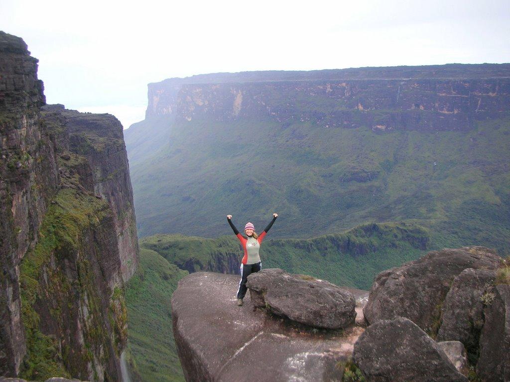
Mount Roraima (also known as Roraima Tepui or Cerro Roraima in Spanish, and Monte Roraima in Portuguese), is the highest of the Pakaraima chain of tepui plateau in South America.First described by the English explorer Sir Walter Raleigh in 1596, its 31 km² summit area is defended by 400m (1,300 ft) tall cliffs on all sides. The mountain includes the triple border point of Venezuela, Brazil and Guyana.


Mount Roraima lies on the Guiana Shield in the southeastern corner of Venezuela's 30,000 km² Canaima National Park forming the highest peak of Guyana's Highland Range. The tabletop mountains of the park are considered some of the oldest geological formations on Earth, dating back to some two billion years ago in the Precambrian Era.


The highest point in Guyana and the highest point of the Brazilian state of Roraima both lie on the plateau, but Venezuela and Brazil have higher mountains. The triple border point is at 5°12'08N, 60°44'07W, but the mountain's highest point is Maverick Rock, 2,810 m, at the south end of the plateau and wholly within Venezuela.


어렴풋이 다큐로 본 기억이 있습니다.
저기 고원꼭대기에 습지도 있는 걸로 기억나고 동식물군도 특이했던 걸로 기억이 납니다.
저기를 갈려면 다들 특수부대에 입소해서 3개월이상은 훈련을 해야할 것같습니다.
더군다나 다큐에서 정상에 가는 길이 목숨을 걸 정도로 험난했던 기억이 나는데,,,,
각오되셨나요?